-40%
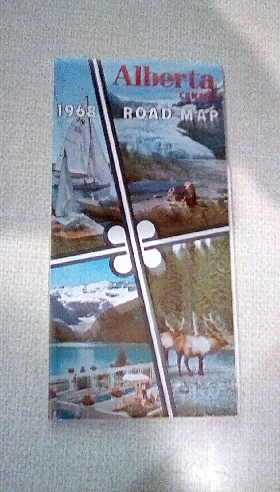
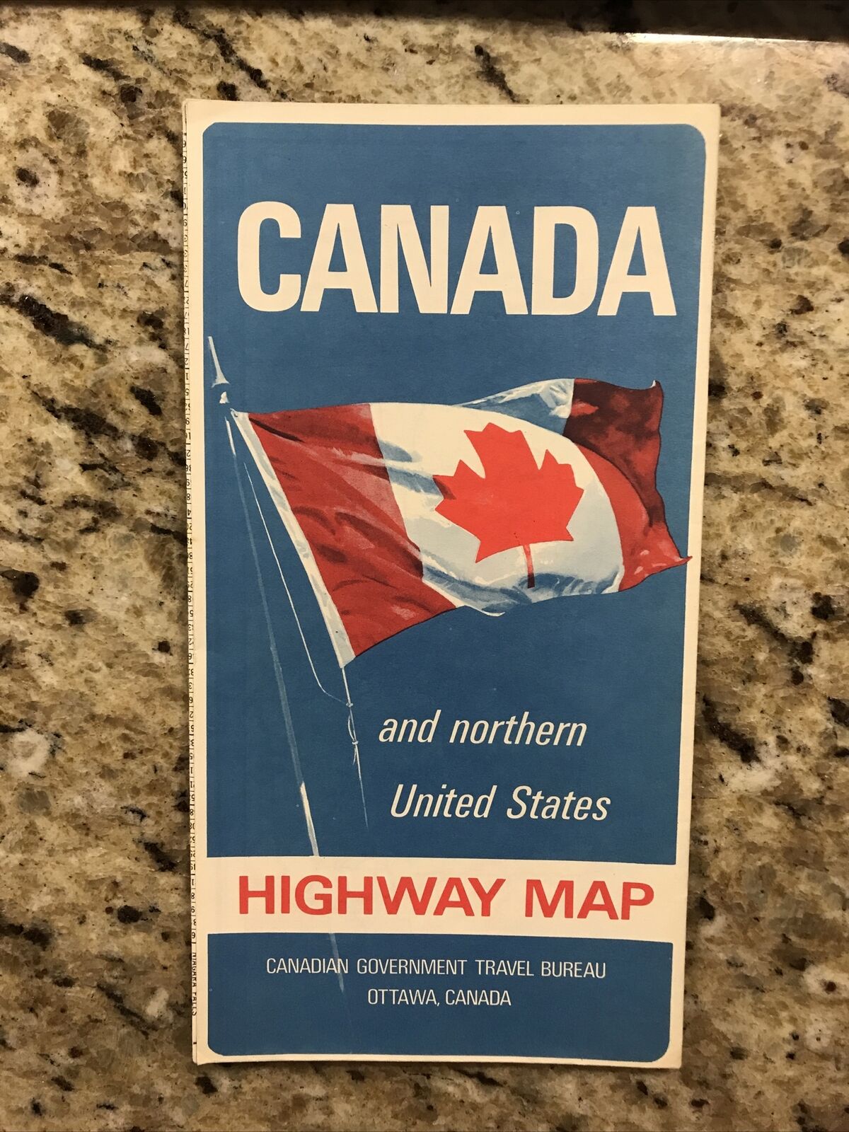
1968 Alberta Canada Road Map - Vintage - Published by Canadian Gov.
$ 10.55
- Description
- Size Guide
Description
1968 Road Map published by Government of the Province of Alberta in Canada by Western Printing & Litho., Calgary.Inset areas include Calgary, Lethbridge, Red Deer, Edmonton, and Medicine Hat.
Other features include Index of Place Names, General Information for Tourists, National Parks, Points of Interest, etc.
